File:H1N1 map by confirmed deaths-sept-17-09.svg

Original file (SVG file, nominally 940 × 477 pixels, file size: 1.44 MB)
Summary
[edit]| Description |
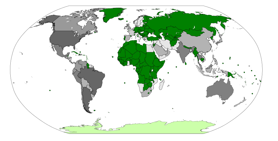
English: Map by confirmed deaths.
| ||||
|---|---|---|---|---|---|
| Source |
This image is from Wikimedia Commons. Please see commons:File:H1N1 map by confirmed deaths.svg for more information This image is copied to Wikinews in order so that it may be preserved in its current state at the time the relevant article Swine flu, in-depth: worldwide report was published. (For example, it might be a map of number of people with computers per capita by country. If we use it in the article, we'd want the version of the map current to when the article was published, not the most recent version). | ||||
| Date |
28 May 2009 | ||||
| Credit | |||||
| Permission |
| ||||
| Other versions |
|


File history
Click on a date/time to view the file as it appeared at that time.
| Date/Time | Thumbnail | Dimensions | User | Comment | |
|---|---|---|---|---|---|
| current | 00:57, 18 September 2009 | | 940 × 477 (1.44 MB) | Bawolff (talk | contribs) | {{local static upload|H1N1_map_by_confirmed_deaths.svg|Swine flu, in-depth: worldwide report}} |
You cannot overwrite this file.
File usage
The following page uses this file: