File:Blank map of South Europe and North Africa.svg
Jump to navigation
Jump to search

Size of this PNG preview of this SVG file: 800 × 473 pixels. Other resolutions: 320 × 189 pixels | 640 × 379 pixels | 1,024 × 606 pixels | 1,280 × 757 pixels | 2,560 × 1,515 pixels | 2,050 × 1,213 pixels.
Original file (SVG file, nominally 2,050 × 1,213 pixels, file size: 324 KB)
| This free media file is from Wikimedia Commons. Its description page is included below. |
| Description |
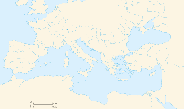
Français : Carte vierge de l'Europe du Sud et du Bassin Méditerranée dans l'Antiquité English: Blank map of South Europe and North Africa at Antic period |
||||||||
| Date | 09/08/2007 | ||||||||
| Source | Own work | ||||||||
| Author | historicair 23:27, 8 August 2007 (UTC) | ||||||||
| Permission (Reusing this file) |
I, the copyright holder of this work, hereby publish it under the following licenses:
This file is licensed under the Creative Commons Attribution-Share Alike 2.5 Generic, 2.0 Generic and 1.0 Generic license.
You may select the license of your choice. |
||||||||
| Other versions |
Derivative works of this file: |
||||||||
| SVG development |

.svg)
File history
Click on a date/time to view the file as it appeared at that time.
| Date/Time | Thumbnail | Dimensions | User | Comment | |
|---|---|---|---|---|---|
| current | 22:58, 20 April 2010 | | 2,050 × 1,213 (324 KB) | Ras67 | frame removed |
| 12:50, 9 August 2007 |  | 2,050 × 1,213 (330 KB) | Historicair | ||
| 23:27, 8 August 2007 |  | 2,050 × 1,213 (211 KB) | Historicair | {{Information |Description={{fr}}Carte vierge de l'Europe du Sud et du Bassin Méditerranée {{en}}Blank map of South Europe and North Africa |Source=Own work |Date=09/08/2007 |Author=~~~~ |Permission={{self2|GFDL|cc-by-sa-2.5,2.0,1.0}} |other_versions= } |
File usage
No pages on the English Wikinews link to this file. Pages on other Wikimedia projects are not listed here.
Global file usage
The following other wikis use this file:
- Usage on de.wikipedia.org
- Usage on el.wikipedia.org
- Usage on fr.wikipedia.org
- Usage on it.wikipedia.org