File:British Columbia-map.png
Jump to navigation
Jump to search
No higher resolution available.
British_Columbia-map.png (280 × 230 pixels, file size: 14 KB, MIME type: image/png)
| This free media file is from Wikimedia Commons. Its description page is included below. |

|
File:British Columbia, Canada.svg is a vector version of this file. It should be used in place of this PNG file when not inferior.
File:British Columbia-map.png → File:British Columbia, Canada.svg
For more information, see Help:SVG. |
 |
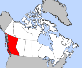
Map of British Columbia
Projection: Lambert azimuthal equal-area
Geospatial data from: The Atlas of Canada, The National Atlas of the United States archive copy at the Wayback Machine and U.S. Geological Survey
Cartographer: John Fowler
| I, the copyright holder of this work, release this work into the public domain. This applies worldwide. In some countries this may not be legally possible; if so: I grant anyone the right to use this work for any purpose, without any conditions, unless such conditions are required by law. |
File history
Click on a date/time to view the file as it appeared at that time.
| Date/Time | Thumbnail | Dimensions | User | Comment | |
|---|---|---|---|---|---|
| current | 12:12, 24 March 2005 | | 280 × 230 (14 KB) | Voyager | Map of British Columbia Projection: Lambert azimuthal equal-area Geospatial data from: [http://atlas.gc.ca/ The Atlas of Canada], [http://www.nationalatlas.gov/ The National Atlas of the United States] and [http://www.usgs.gov U.S. Geological Survey] C |
File usage
No pages on the English Wikinews link to this file. Pages on other Wikimedia projects are not listed here.
Global file usage
The following other wikis use this file:
- Usage on fr.wikipedia.org
- Usage on he.wikivoyage.org