File:California 85.svg
Jump to navigation
Jump to search

Size of this PNG preview of this SVG file: 385 × 401 pixels. Other resolutions: 230 × 240 pixels | 461 × 480 pixels | 737 × 768 pixels | 983 × 1,024 pixels | 1,966 × 2,048 pixels.
Original file (SVG file, nominally 385 × 401 pixels, file size: 14 KB)
| This free media file is from Wikimedia Commons. Its description page is included below. |
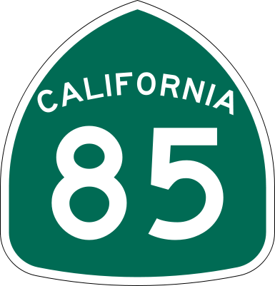
| Description | Vector image of a 24 in by 25 in (600 mm by 635 mm) California State Route shield. Colors are from [1] (Pantone Green 342), converted to RGB by [2]. The outside border has a width of 1 (1/16 in) and a color of black so it shows up; in reality, signs have no outside border. |
| Date | |
| Source | Made to the specifications of the 1971 Caltrans sign drawing (still in use). Uses the Roadgeek 2005 fonts. (United States law does not permit the copyrighting of typeface designs, and the fonts are meant to be copies of a U.S. Government-produced work anyway.) |
| Author | SPUI |
| Other versions |
This vector image includes elements that have been taken or adapted from this file: |
| SVG development | This logo was created with Adobe Illustrator. |
This file is in the public domain because it comes from the California Manual on Uniform Traffic Control Devices, sign number G28-2 (CA), which states specifically in its introduction, on page 44 that:
|
File history
Click on a date/time to view the file as it appeared at that time.
| Date/Time | Thumbnail | Dimensions | User | Comment | |
|---|---|---|---|---|---|
| current | 16:33, 20 March 2006 | | 385 × 401 (14 KB) | SPUI~commonswiki | |
| 13:49, 20 March 2006 |  | 385 × 401 (14 KB) | SPUI~commonswiki | {{spuiother}} 24 in by 25 in (600 mm by 635 mm) California State Route shield, made to the specifications of the [http://www.dot.ca.gov/hq/traffops/signtech/signdel/specs/G28-2.pdf 1971 Caltrans sign drawing] (still in use). Uses the [http://www.triskele. |
File usage
No pages on the English Wikinews link to this file. Pages on other Wikimedia projects are not listed here.
Global file usage
The following other wikis use this file:
- Usage on ast.wikipedia.org
- Usage on en.wikipedia.org
- San Francisco Peninsula
- San Jose, California
- Campbell, California
- Sunnyvale, California
- Northern California
- Interstate 280 (California)
- Bayshore Freeway
- California State Route 85
- FasTrak
- California State Route 86
- California State Route 87
- California State Route 237
- California State Route 82
- California State Route 9
- California State Route 84
- California State Route 17
- South San Jose
- Wikipedia:WikiProject U.S. Roads/Redirects/California
- List of deleted state highways in California
- Blue Line (VTA)
- Transportation in the San Francisco Bay Area
- U.S. Route 101 in California
- Purple Line (VTA)
- List of highways numbered 85
- VTA light rail
- Template:Blue Line (VTA)
- Template:Purple Line (VTA)
- User:NE2/CA
- List of state highways in California
- User:Timsabin/List of HOT and ETL lanes in the United States
- Santa Clara County, California
- California county routes in zone G
- Template:VTA light rail lines
- Monterey Road
- Stevens Creek Boulevard
- User:Tv's emory/Sandbox/List of state highways in California
- Template:Orange Line (VTA)
- Orange Line (VTA)
- Usage on en.wikivoyage.org
- Usage on es.wikipedia.org
View more global usage of this file.