File:Flag-map of Madagascar.svg
Jump to navigation
Jump to search

Size of this PNG preview of this SVG file: 306 × 599 pixels. Other resolutions: 122 × 240 pixels | 245 × 480 pixels | 392 × 768 pixels | 523 × 1,024 pixels | 1,046 × 2,048 pixels | 307 × 601 pixels.
Original file (SVG file, nominally 307 × 601 pixels, file size: 98 KB)
| This free media file is from Wikimedia Commons. Its description page is included below. |
This W3C-unspecified vector image was created with Inkscape .
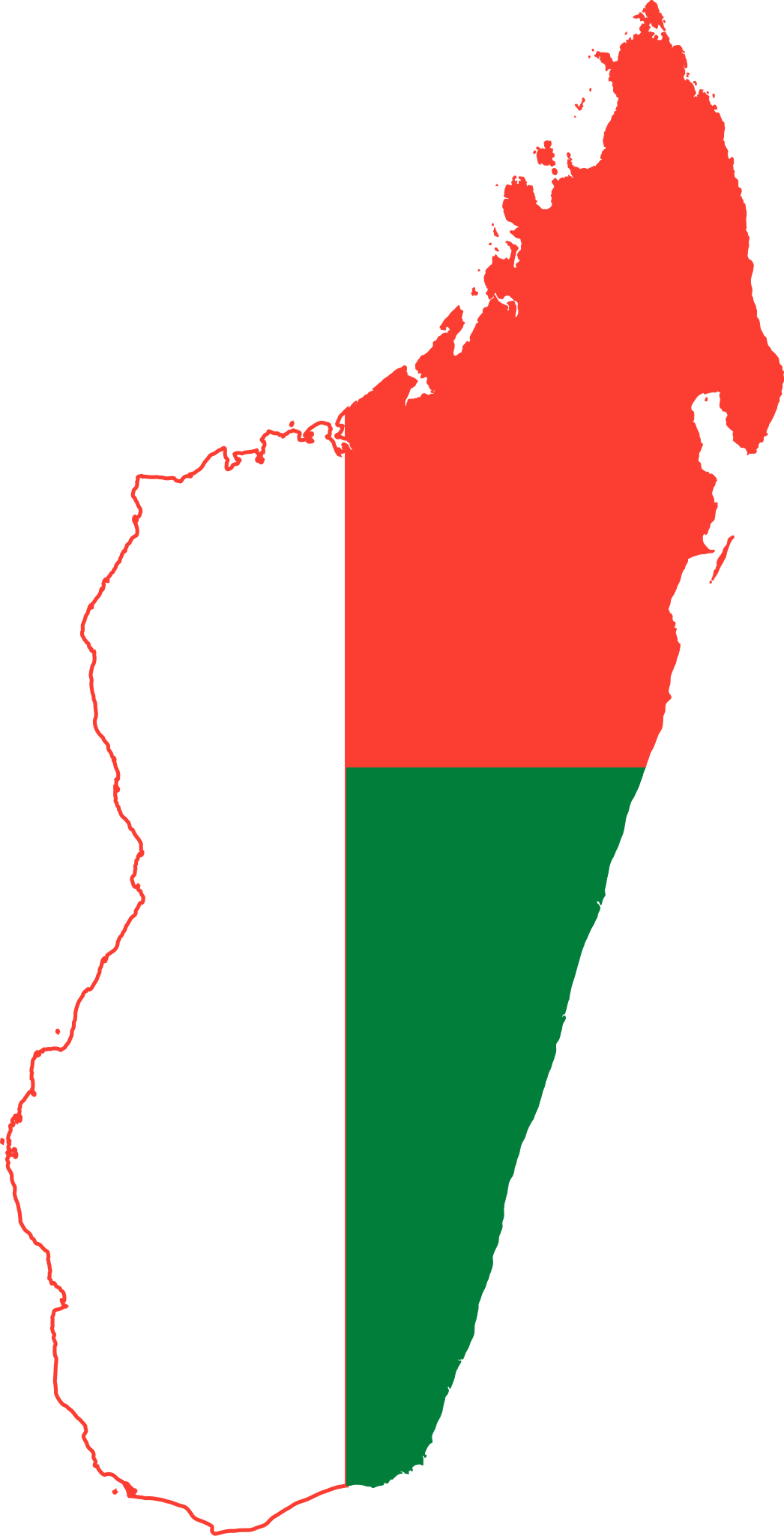
| Description | Flag-map of Madagascar |
| Source | Own work |
| Author | Darwinek |
I, the copyright holder of this work, hereby publish it under the following licenses:
This file is licensed under the Creative Commons Attribution-Share Alike 3.0 Unported license.
- You are free:
- to share – to copy, distribute and transmit the work
- to remix – to adapt the work
- Under the following conditions:
- attribution – You must give appropriate credit, provide a link to the license, and indicate if changes were made. You may do so in any reasonable manner, but not in any way that suggests the licensor endorses you or your use.
- share alike – If you remix, transform, or build upon the material, you must distribute your contributions under the same or compatible license as the original.

|
Permission is granted to copy, distribute and/or modify this document under the terms of the GNU Free Documentation License, Version 1.2 or any later version published by the Free Software Foundation; with no Invariant Sections, no Front-Cover Texts, and no Back-Cover Texts. A copy of the license is included in the section entitled GNU Free Documentation License. |
You may select the license of your choice.
File history
Click on a date/time to view the file as it appeared at that time.
| Date/Time | Thumbnail | Dimensions | User | Comment | |
|---|---|---|---|---|---|
| current | 22:56, 3 June 2015 | | 307 × 601 (98 KB) | Stasyan117 | Reduce |
| 17:13, 2 February 2015 |  | 511 × 1,001 (193 KB) | Stasyan117 | More correct map | |
| 02:40, 2 February 2011 |  | 301 × 563 (80 KB) | Fry1989 | haul | |
| 15:40, 16 March 2008 |  | 304 × 566 (137 KB) | Darwinek |
File usage
No pages on the English Wikinews link to this file. Pages on other Wikimedia projects are not listed here.
Global file usage
The following other wikis use this file:
- Usage on ar.wikipedia.org
- قالب:بذرة جغرافيا مدغشقر
- منطقة سافا
- منطقة صوفيا
- منطقة ديانا
- أنالانجيروفو
- إقليم أنتاناناريفو
- المحمية الطبيعية الكاملة في تسينجي دي بيماراها
- أيزو 3166-2:MG
- مستخدم:ASammour/بذرة-بوابة
- مناطق مدغشقر
- ماروسوا
- إساندرا
- أنالامانجا
- منطقة إيتاسي
- ميلاكي
- هوت ماتسياترا
- أتسيمو-أندرفانا
- بويني
- أندروي
- إيهورومبي
- واتوواوي-فيتوويناني
- فاكينانكارترا
- فيانارانتسوا
- كنكوني الشقيقة
- نهر أندرانوتسيميسيامالونا
- أنكافانانا
- نهر أنتاينامبالانا
- نهر بيماريفو
- نهر بيسوكاترا
- نهر ميناراندرا
- Usage on ar.wikinews.org
- Usage on be-tarask.wikipedia.org
- Usage on ce.wikipedia.org
- Usage on cs.wikipedia.org
- Usage on da.wikipedia.org
View more global usage of this file.