File:Gatwick Air Traffic Control tower - geograph.org.uk - 237405.jpg
Jump to navigation
Jump to search
No higher resolution available.
Gatwick_Air_Traffic_Control_tower_-_geograph.org.uk_-_237405.jpg (563 × 422 pixels, file size: 91 KB, MIME type: image/jpeg)
| This free media file is from Wikimedia Commons. Its description page is included below. |
Summary
| Description |
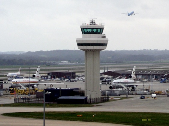
English: Gatwick Air Traffic Control tower. Seen from passenger footbridge between North Terminal and Pier 6 satellite building. |
| Date | |
| Source | From geograph.org.uk |
| Author | Andy Potter |
| Attribution (required by the license) | Andy Potter / Gatwick Air Traffic Control tower / |
| Camera location | | View this and other nearby images on: OpenStreetMap |
|---|
_heading:247.00&language=en)
| Object location | | View this and other nearby images on: OpenStreetMap |
|---|
_heading:247.00&language=en)
Licensing

|
This image was taken from the Geograph project collection. See this photograph's page on the Geograph website for the photographer's contact details. The copyright on this image is owned by Andy Potter and is licensed for reuse under the Creative Commons Attribution-ShareAlike 2.0 license.
|
This file is licensed under the Creative Commons Attribution-Share Alike 2.0 Generic license.
Attribution: Andy Potter
- You are free:
- to share – to copy, distribute and transmit the work
- to remix – to adapt the work
- Under the following conditions:
- attribution – You must give appropriate credit, provide a link to the license, and indicate if changes were made. You may do so in any reasonable manner, but not in any way that suggests the licensor endorses you or your use.
- share alike – If you remix, transform, or build upon the material, you must distribute your contributions under the same or compatible license as the original.
File history
Click on a date/time to view the file as it appeared at that time.
| Date/Time | Thumbnail | Dimensions | User | Comment | |
|---|---|---|---|---|---|
| current | 11:19, 3 October 2021 | | 563 × 422 (91 KB) | Mertbiol | cropped |
| 00:23, 1 February 2010 |  | 640 × 547 (291 KB) | GeographBot | == {{int:filedesc}} == {{Information |description={{en|1=Gatwick Air Traffic Control tower. Seen from passenger footbridge between North Terminal and Pier 6 satellite building.}} |date=2006-04-14 |source=From [http://www.geograph.org.uk/photo/237405 geogr |
File usage
The following page uses this file:
Global file usage
The following other wikis use this file:
- Usage on en.wikipedia.org
- Usage on eu.wikipedia.org
- Usage on hi.wikipedia.org