File:Map-World S. Africa-Australia.PNG
Jump to navigation
Jump to search
Size of this preview: 800 × 351 pixels. Other resolutions: 320 × 140 pixels | 640 × 281 pixels | 1,425 × 625 pixels.
Original file (1,425 × 625 pixels, file size: 60 KB, MIME type: image/png)
| This free media file is from Wikimedia Commons. Its description page is included below. |
Summary
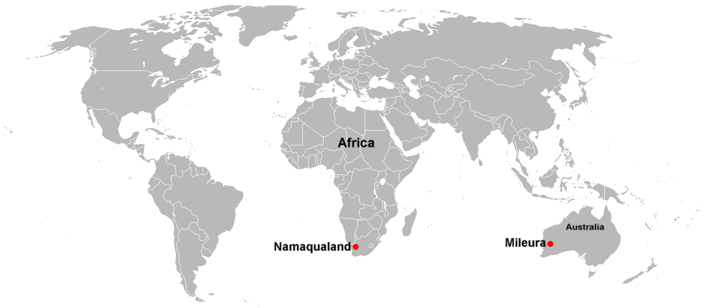
| Description | World map Showing Namaqualand. South Africa and Mileura, Australia, two possible locations for the Square Kilometer Array. | ||
| Date | |||
| Source | Self-made from Image:BlankMap-World.png | ||
| Author | DragonFire1024 | ||
| Permission (Reusing this file) |
|
File history
Click on a date/time to view the file as it appeared at that time.
| Date/Time | Thumbnail | Dimensions | User | Comment | |
|---|---|---|---|---|---|
| current | 04:05, 5 October 2007 | | 1,425 × 625 (60 KB) | DragonFire1024 | {{Information |Description=World map Showing Namaqualand. South Africa and Mileura, Australia |Source=Self-made from Image:BlankMap-World.png |Date=October 5, 2007 |Author=[[User:DragonFire1024|Dra |
File usage
The following page uses this file: