File:Map of Italy blank.svg
Jump to navigation
Jump to search

Size of this PNG preview of this SVG file: 480 × 600 pixels. Other resolutions: 192 × 240 pixels | 384 × 480 pixels | 614 × 768 pixels | 819 × 1,024 pixels | 1,638 × 2,048 pixels | 1,200 × 1,500 pixels.
Original file (SVG file, nominally 1,200 × 1,500 pixels, file size: 822 KB)
| This free media file is from Wikimedia Commons. Its description page is included below. |
Summary
| Description |
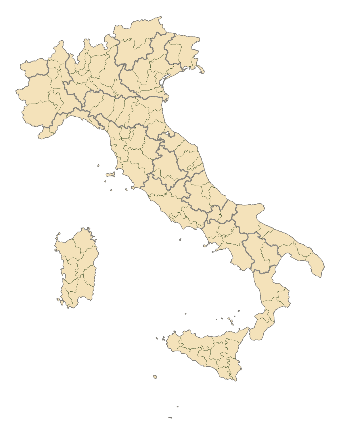
English: Blank map of Italy, divided in provinces. It can be easily divided even in regions. Situation before 2009. |
||
| Date | |||
| Source | Own work | ||
| Author | F l a n k e r | ||
| Permission (Reusing this file) |
|
||
| Other versions |
Derivative works of this file: |
.svg)
.svg)
.svg)
.svg)
.svg)
.svg)
File history
Click on a date/time to view the file as it appeared at that time.
| Date/Time | Thumbnail | Dimensions | User | Comment | |
|---|---|---|---|---|---|
| current | 19:42, 2 August 2015 | | 1,200 × 1,500 (822 KB) | Carnby | IT-TS+IT-88 |
| 22:54, 31 July 2015 |  | 1,200 × 1,500 (823 KB) | Carnby | Rimini | |
| 19:56, 3 December 2009 |  | 1,200 × 1,500 (821 KB) | F l a n k e r | Added provinces of Molise | |
| 00:15, 3 December 2009 |  | 1,200 × 1,500 (820 KB) | Vonvikken | Fixed wrong borders between Abruzzo and Molise | |
| 11:58, 28 March 2007 |  | 1,200 × 1,500 (828 KB) | F l a n k e r | ||
| 17:56, 12 January 2007 |  | 1,200 × 1,500 (552 KB) | F l a n k e r | ||
| 12:10, 19 November 2006 |  | 1,200 × 1,500 (559 KB) | F l a n k e r | {{Information |Description=Blank map of Italy, divided in provinces. It can be easily divided even in regions. |Source= |Date=19 Nov. 2006 |Author=F l a n k e r |Permission= |other_versions= }} |
File usage
No pages on the English Wikinews link to this file. Pages on other Wikimedia projects are not listed here.
Global file usage
The following other wikis use this file:
- Usage on ast.wikipedia.org
- Usage on ca.wikipedia.org
- Usage on gl.wikipedia.org
- Usage on hy.wikipedia.org
- Usage on ia.wikipedia.org
- Usage on it.wikinews.org
- Usage on ru.wikipedia.org
- Usage on tg.wikipedia.org
- Usage on uk.wikipedia.org
- Usage on www.wikidata.org