File:Map of PRC without province names.svg
Jump to navigation
Jump to search

Size of this PNG preview of this SVG file: 713 × 600 pixels. Other resolutions: 286 × 240 pixels | 571 × 480 pixels | 913 × 768 pixels | 1,218 × 1,024 pixels | 2,436 × 2,048 pixels | 1,219 × 1,025 pixels.
Original file (SVG file, nominally 1,219 × 1,025 pixels, file size: 1.05 MB)
| This free media file is from Wikimedia Commons. Its description page is included below. |
Summary
| Description |
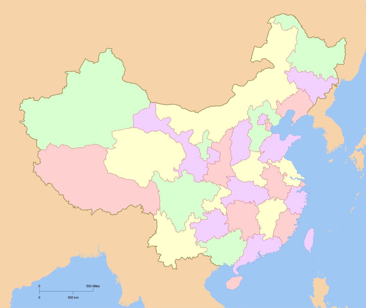
中文(中国大陆):中华人民共和国地图,未显示省级行政区名称。
English: A map of the People Republic of China, without province names. |
| Date | |
| Source | Created by User:PhiLiP, based on some bitmap files. |
| Author | Created by User:PhiLiP. |
| Other versions |
Derivative works of this file:
|

.svg)
Licensing
I, the copyright holder of this work, hereby publish it under the following license:

|
Permission is granted to copy, distribute and/or modify this document under the terms of the GNU Free Documentation License, Version 1.2 or any later version published by the Free Software Foundation; with no Invariant Sections, no Front-Cover Texts, and no Back-Cover Texts. A copy of the license is included in the section entitled GNU Free Documentation License. |
| This file is licensed under the Creative Commons Attribution-Share Alike 3.0 Unported license. | ||
| ||
| This licensing tag was added to this file as part of the GFDL licensing update. |
File history
Click on a date/time to view the file as it appeared at that time.
| Date/Time | Thumbnail | Dimensions | User | Comment | |
|---|---|---|---|---|---|
| current | 02:00, 27 August 2010 | | 1,219 × 1,025 (1.05 MB) | Ras67 | border removed |
| 05:10, 6 November 2007 |  | 1,223 × 1,029 (1.34 MB) | PhiLiP | ||
| 11:41, 5 November 2007 |  | 1,223 × 1,029 (1.34 MB) | PhiLiP | ||
| 11:19, 5 November 2007 |  | 1,223 × 1,029 (1.33 MB) | PhiLiP | ||
| 10:04, 5 November 2007 |  | 1,223 × 1,029 (1.33 MB) | PhiLiP | {{Information |Description= {{zh-cn|中华人民共和国地图,未显示省级行政区的名称}} {{en|A map of the People Republic of China, without province names. |Source=Created by User:PhiLiP, based on some bitmap files. |Date=Nov. 5, 2007 | |
File usage
No pages on the English Wikinews link to this file. Pages on other Wikimedia projects are not listed here.
Global file usage
The following other wikis use this file:
- Usage on bxr.wikipedia.org
- Usage on es.wikipedia.org
- Usage on gn.wikipedia.org
- Usage on mn.wikipedia.org
- Usage on zh-min-nan.wikipedia.org