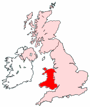
File:Map of Wales within the United Kingdom.png
Jump to navigation
Jump to search
No higher resolution available.
Map_of_Wales_within_the_United_Kingdom.png (290 × 346 pixels, file size: 35 KB, MIME type: image/png)
| This free media file is from Wikimedia Commons. Its description page is included below. |

|
File:Map of Wales within the United Kingdom.svg is a vector version of this file. It should be used in place of this PNG file when not inferior.
File:Map of Wales within the United Kingdom.png → File:Map of Wales within the United Kingdom.svg
For more information, see Help:SVG. |
 |
.
Created by Morwen.

|
Permission is granted to copy, distribute and/or modify this document under the terms of the GNU Free Documentation License, Version 1.2 or any later version published by the Free Software Foundation; with no Invariant Sections, no Front-Cover Texts, and no Back-Cover Texts. A copy of the license is included in the section entitled GNU Free Documentation License. |
| This file is licensed under the Creative Commons Attribution-Share Alike 3.0 Unported license. | ||
| ||
| This licensing tag was added to this file as part of the GFDL licensing update. |
File history
Click on a date/time to view the file as it appeared at that time.
| Date/Time | Thumbnail | Dimensions | User | Comment | |
|---|---|---|---|---|---|
| current | 05:21, 15 August 2005 | | 290 × 346 (35 KB) | Wighson | More detail |
| 02:43, 7 May 2005 |  | 200 × 246 (7 KB) | Neutrality | Created by Morwen. {{GFDL}} |
File usage
No pages on the English Wikinews link to this file. Pages on other Wikimedia projects are not listed here.
Global file usage
The following other wikis use this file:
- Usage on cs.wikiquote.org
- Usage on en.wikipedia.org
- Usage on eo.wikipedia.org
- Usage on fr.wikipedia.org
- Usage on ht.wikipedia.org
- Usage on jv.wikipedia.org
- Usage on kw.wiktionary.org
- Usage on li.wikipedia.org
- Usage on lmo.wikipedia.org
- Usage on mk.wikipedia.org
- Usage on os.wikipedia.org
- Usage on pl.wiktionary.org
- Usage on pms.wikipedia.org
- Usage on pt.wikipedia.org
- Usage on pt.wiktionary.org
- Usage on ro.wikipedia.org
- Usage on ru.wikipedia.org
- Usage on scn.wikipedia.org
- Usage on simple.wiktionary.org
- Usage on xmf.wikipedia.org