File:Mapa loc O'Higgins.svg

Original file (SVG file, nominally 400 × 600 pixels, file size: 1.15 MB)
| This free media file is from Wikimedia Commons. Its description page is included below. |
| Description |
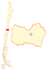
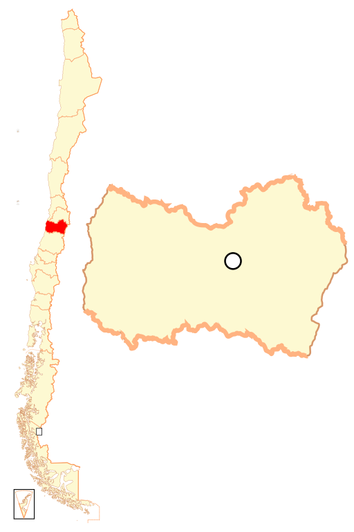
Español: Mapa localizador de la VI Región del Libertador General Bernardo O'Higgins |
| Date | |
| Source | Own work |
| Author | B1mbo |
| Permission (Reusing this file) |
I, the copyright holder of this work, hereby publish it under the following license: This file is licensed under the Creative Commons Attribution-Share Alike 2.5 Generic license.
|
| Legal disclaimer
The edition and circulation of maps, geographic charts and other documents about the boundaries and frontiers of Chile, don't have any relation with the Republic of Chile, according to the Article 2 g) of DFL Nº83 of 1979 of the Ministery of Foreign Affairs. La edición y circulación de mapas, cartas geográficas y otros documentos sobre los límites y fronteras de Chile no tienen relación alguna con la República de Chile de acuerdo al artículo 2 g) del DFL Nº83 de 1979 del Ministerio de Relaciones Exteriores. |
File history
Click on a date/time to view the file as it appeared at that time.
| Date/Time | Thumbnail | Dimensions | User | Comment | |
|---|---|---|---|---|---|
| current | 22:49, 5 September 2018 | | 400 × 600 (1.15 MB) | Janitoalevic | Ñuble Region |
| 23:15, 20 August 2017 |  | 400 × 600 (1.02 MB) | Janitoalevic | Reverted to version as of 02:55, 13 November 2007 (UTC) | |
| 04:27, 20 August 2017 |  | 400 × 600 (1.08 MB) | Janitoalevic | Added Ñuble Region | |
| 02:55, 13 November 2007 |  | 400 × 600 (1.02 MB) | B1mbo | {{Information |Description= {{es|Mapa localizador de la VI Región del Libertador General Bernardo O'Higgins}} |Source=own work |Date=12 de noviembre, 2007 |Author=B1mbo |Permissi |
File usage
No pages on the English Wikinews link to this file. Pages on other Wikimedia projects are not listed here.
Global file usage
The following other wikis use this file:
- Usage on ba.wikipedia.org
- Usage on bg.wikipedia.org
- Usage on da.wikipedia.org
- Usage on de.wikipedia.org
- Usage on diq.wikipedia.org
- O'Higgins
- Şablon:O'Higgins
- Cachapoal (wılayet)
- Cardenal Caro
- Colchagua
- San Vicente de Tagua Tagua
- Rancagua
- Machalí
- Rengo, Şili
- Requínoa
- Quinta de Tilcoco
- Pichidegua
- Peumo
- Olivar
- Mostazal
- Malloa
- Las Cabras, Şili
- Graneros
- Doñihue
- Coltauco
- Coínco
- Codegua
- La Estrella
- Litueche
- Marchigüe
- Navidad
- Paredones
- Pichilemu
- Chépica
- Chimbarongo
- Lolol
- Nancagua
- Palmilla
- Peralillo
- Placilla
- Pumanque
- San Fernando, Şili
- Santa Cruz, Şili
- Usage on en.wikipedia.org
View more global usage of this file.