File:Middle East location map.svg
Jump to navigation
Jump to search

Size of this PNG preview of this SVG file: 250 × 160 pixels. Other resolutions: 320 × 205 pixels | 640 × 410 pixels | 1,024 × 655 pixels | 1,280 × 819 pixels | 2,560 × 1,638 pixels.
Original file (SVG file, nominally 250 × 160 pixels, file size: 258 KB)
| This free media file is from Wikimedia Commons. Its description page is included below. |
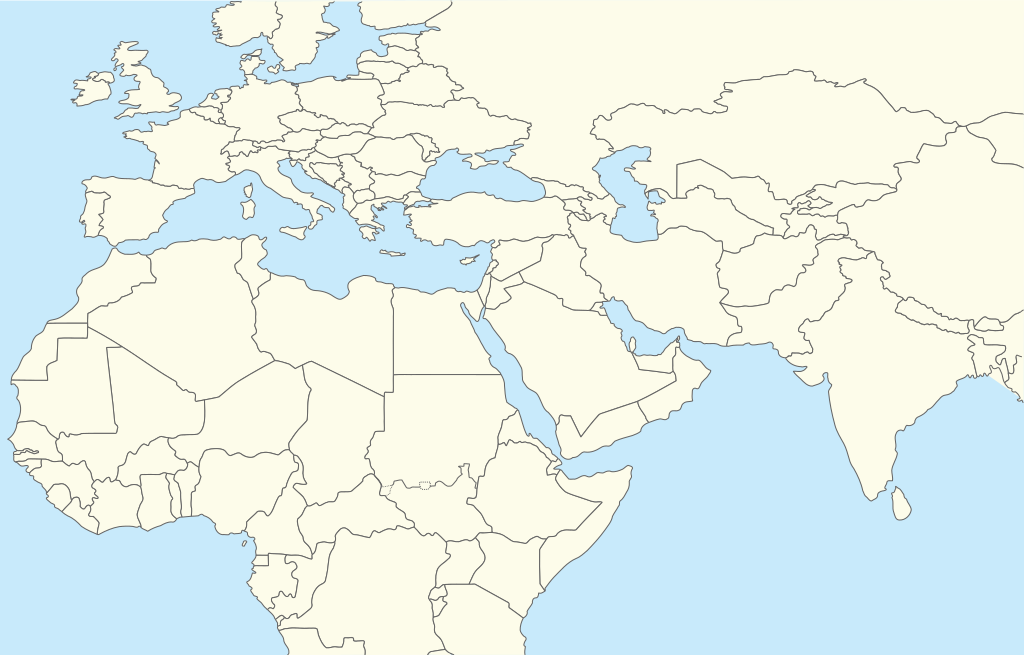
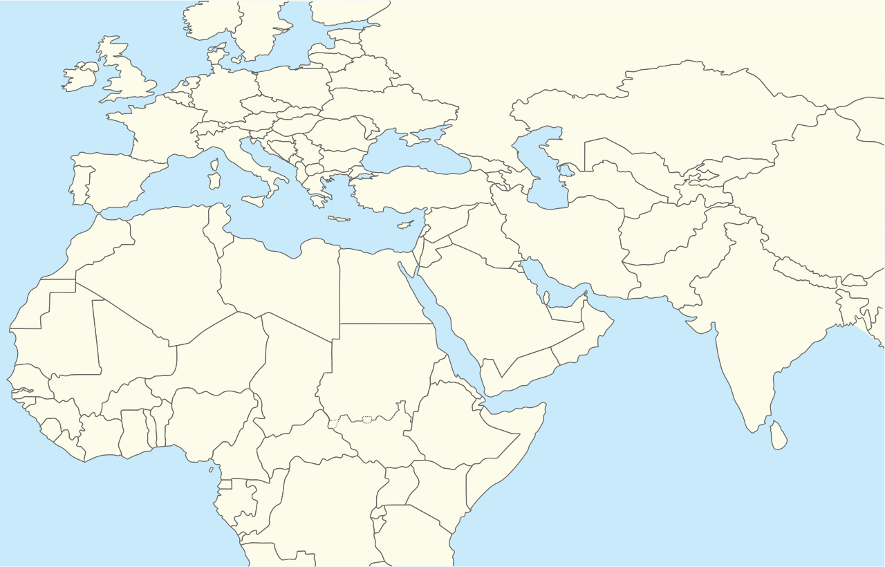
| Description | Location map for Middle East (Greater Middle East) |
| Date | (UTC) |
| Source | |
| Author |
|
| This is a retouched picture, which means that it has been digitally altered from its original version. The original can be viewed here: World location map.svg:
|
I, the copyright holder of this work, hereby publish it under the following license:
| I, the copyright holder of this work, release this work into the public domain. This applies worldwide. In some countries this may not be legally possible; if so: I grant anyone the right to use this work for any purpose, without any conditions, unless such conditions are required by law. |
Original upload log
This image is a derivative work of the following images:
- File:World_location_map.svg licensed with PD-self
- 2010-04-18T18:53:02Z STyx 800x400 (599024 Bytes) {{Information |Description={{en|1=?}} |Source=? |Author=? |Date= |Permission= |other_versions= }} == {{int:filedesc}} == {{Information |Description={{en}}Blank world map for location map templates ([[:en:Equirectangular proje
Uploaded with derivativeFX
File history
Click on a date/time to view the file as it appeared at that time.
| Date/Time | Thumbnail | Dimensions | User | Comment | |
|---|---|---|---|---|---|
| current | 16:52, 11 April 2024 | | 250 × 160 (258 KB) | Iktsokh | Clearing the map |
| 20:12, 5 April 2014 |  | 250 × 160 (258 KB) | RicHard-59 | Sudan divided, Cyprus has been missing | |
| 13:06, 28 October 2010 |  | 250 × 160 (250 KB) | 배우는사람 | {{Information |Description=Location map for Middle East (Greater Middle East) |Source=*File:World_location_map.svg |Date=2010-10-28 13:06 (UTC) |Author=*File:World_location_map.svg *derivative work: ~~~ |Permission= |other_versions= }} {{Reto |
File usage
No pages on the English Wikinews link to this file. Pages on other Wikimedia projects are not listed here.
Global file usage
The following other wikis use this file:
- Usage on ar.wikipedia.org
- Usage on azb.wikipedia.org
- Usage on bn.wikipedia.org
- Usage on ceb.wikipedia.org
- Usage on ckb.wikipedia.org
- Usage on da.wikipedia.org
- Usage on en.wikipedia.org
- Shiraz
- Abarim
- Sea of Galilee
- Dubai International Airport
- Taba, Egypt
- Taif
- Dubai
- Al Ain
- Midian
- Prophet's Mosque
- Kuwait International Airport
- Sharjah International Airport
- King Khalid International Airport
- Zayed International Airport
- Fujairah International Airport
- Jebel Akhdar (Oman)
- Salman Pak
- Doha International Airport
- Mount Arafat
- 1973 Rome airport attacks and hijacking
- Safa and Marwa
- Dhaid
- King Abdulaziz International Airport
- Nizwa
- Shibam
- Sohar
- Seeb
- Abha
- Shah Amanat International Airport
- Prince Mohammad bin Abdulaziz International Airport
View more global usage of this file.