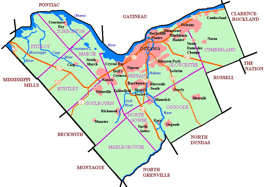
File:Newottawamap.png
Jump to navigation
Jump to search
Size of this preview: 800 × 565 pixels. Other resolutions: 320 × 226 pixels | 640 × 452 pixels | 903 × 638 pixels.
Original file (903 × 638 pixels, file size: 165 KB, MIME type: image/png)
| This free media file is from Wikimedia Commons. Its description page is included below. |

|
This city map image could be re-created using vector graphics as an SVG file. This has several advantages; see Commons:Media for cleanup for more information. If an SVG form of this image is available, please upload it and afterwards replace this template with
{{vector version available|new image name}}.Note: Existing vector data is available from File:Ottawa map.svg. It is recommended to name the SVG file “Newottawamap.svg”—then the template Vector version available (or Vva) does not need the new image name parameter. |
Originally uploaded to en wiki as Image:Newottawamap.png by creator en:User:Earl Andrew on March 16, 2005 Released by author to the public domain.
Note: This tag is deprecated, please replace this template with {{PD-user-w}}
| |
This work has been released into the public domain by its author, Earl Andrew, at the English Wikipedia project. This applies worldwide. In case this is not legally possible: |
Format
File history
Click on a date/time to view the file as it appeared at that time.
| Date/Time | Thumbnail | Dimensions | User | Comment | |
|---|---|---|---|---|---|
| current | 08:56, 1 May 2005 | | 903 × 638 (165 KB) | Peregrine981 | Originally uploaded to en wiki as Image:Newottawamap.png by creator en:User:Early Andrew on March 16, 2005 Released by author to the public domain. {{PD}} Category:Ottawa Category:Maps |
File usage
No pages on the English Wikinews link to this file. Pages on other Wikimedia projects are not listed here.
Global file usage
The following other wikis use this file:
- Usage on ang.wikipedia.org
- Usage on ar.wikipedia.org
- Usage on ay.wikipedia.org
- Usage on bn.wikipedia.org
- Usage on ca.wikipedia.org
- Usage on de.wikipedia.org
- Usage on de.wikivoyage.org
- Usage on en.wikipedia.org
- Ottawa
- Rockcliffe Park
- Riverview, Ottawa
- Westboro, Ottawa
- Blossom Park
- Kanata, Ontario
- Cumberland, Ontario
- New Edinburgh
- Old Ottawa South
- Richmond, Ontario
- TD Place Stadium
- Dow's Lake
- Heron Gate
- Children's Hospital of Eastern Ontario
- Orleans, Ontario
- Barrhaven
- Downtown Ottawa
- Old Ottawa East
- Cumberland, Ottawa
- Stittsville
- Constance Bay
- Ottawa Macdonald–Cartier International Airport
- Ottawa/Rockcliffe Airport
- Carp Airport
- Munster, Ontario
- City of Ottawa
- List of airports in the Ottawa area
- Kars/Rideau Valley Air Park
- Centrepointe
- Manotick
- Carp, Ontario
- Hintonburg
- Mechanicsville, Ottawa
- Ottawa station
- Tremblay station
- Osgoode, Ontario
- Lindenlea
- Metcalfe, Ontario
- Britannia, Ottawa
- Burritts Rapids
- Huntley Township, Ontario
- Torbolton Township
- Talk:Ottawa station
View more global usage of this file.