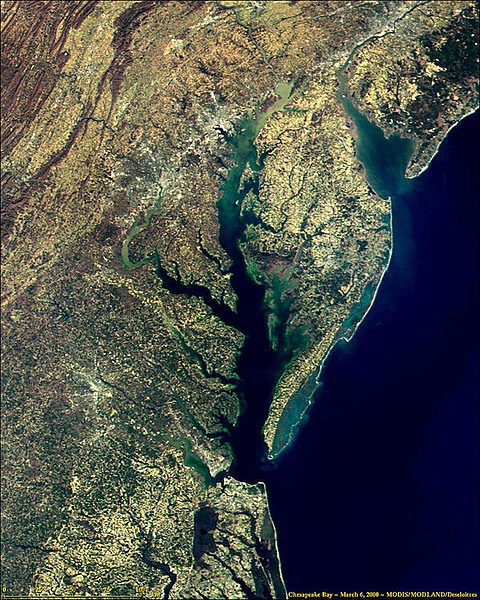
File:Delaware and Chesapeake Bays satellite image.jpg
Jump to navigation
Jump to search

Size of this preview: 480 × 600 pixels. Other resolutions: 192 × 240 pixels | 600 × 750 pixels.
Original file (600 × 750 pixels, file size: 218 KB, MIME type: image/jpeg)
File history
Click on a date/time to view the file as it appeared at that time.
| Date/Time | Thumbnail | Dimensions | User | Comment | |
|---|---|---|---|---|---|
| current | 00:36, 11 May 2005 |  | 600 × 750 (218 KB) | Edbrown05~commonswiki | NASA image taken by MODIS. Website @ [http://modis.gsfc.nasa.gov/about/media.html Media Page]. Uploaded by ~~~~ {{PD}} Category:Bays |
File usage
The following page uses this file:
Global file usage
The following other wikis use this file:
- Usage on bo.wikipedia.org
- Usage on cs.wikipedia.org
- Usage on de.wikipedia.org
- Usage on en.wikipedia.org
- Usage on frr.wikipedia.org
- Usage on fr.wikipedia.org
- Usage on it.wikipedia.org
- Usage on nl.wikipedia.org
- Usage on www.wikidata.org

