File:Map of USA AL.svg
Jump to navigation
Jump to search

Size of this PNG preview of this SVG file: 286 × 186 pixels. Other resolutions: 320 × 208 pixels | 640 × 416 pixels | 1,024 × 666 pixels | 1,280 × 832 pixels | 2,560 × 1,665 pixels.
Original file (SVG file, nominally 286 × 186 pixels, file size: 167 KB)
| This free media file is from Wikimedia Commons. Its description page is included below. |
Clickable version
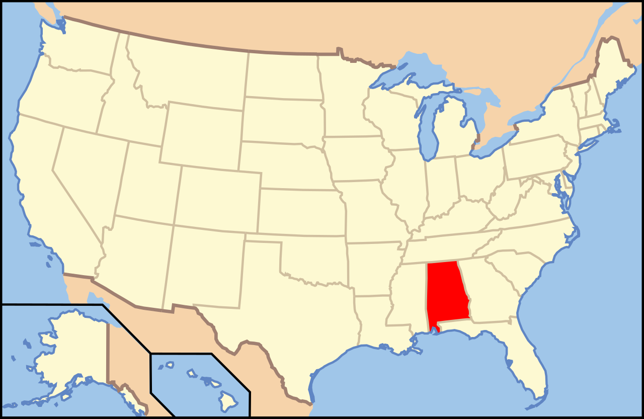
| Description | Map of USA with Alabama highlighted | ||||||||
| Source | United States (Outline Map) 1998 from Perry-Castañeda Library Map Collection: United States Maps | ||||||||
| Author | Huebi | ||||||||
| Permission (Reusing this file) |
This file is licensed under the Creative Commons Attribution-Share Alike 1.0 Generic license.
This file is licensed under the Creative Commons Attribution 2.0 Generic license.
This file is licensed under the Creative Commons Attribution-Share Alike 2.0 Generic license.
|
||||||||
| Other versions | image:Map of USA with state names.svg |

File history
Click on a date/time to view the file as it appeared at that time.
| Date/Time | Thumbnail | Dimensions | User | Comment | |
|---|---|---|---|---|---|
| current | 07:59, 27 May 2006 | | 286 × 186 (167 KB) | Huebi~commonswiki | |
| 10:30, 26 May 2006 |  | 959 × 593 (310 KB) | Huebi~commonswiki | {{Information| |Description=Map of USA with Alabama highlighted |other_versions=image:Map of USA with state names.svg }} Category:Maps of the United States Category:SVG maps {{GFDL-en}}{{cc-by-2.0}}{{cc-by-sa-1.0}}{{cc-by-sa-2.0}} |
File usage
No pages on the English Wikinews link to this file. Pages on other Wikimedia projects are not listed here.
Global file usage
The following other wikis use this file:
- Usage on ab.wikipedia.org
- Usage on af.wikipedia.org
- Usage on ang.wikipedia.org
- Usage on an.wikipedia.org
- Usage on arc.wikipedia.org
- Usage on ar.wikipedia.org
- Usage on ay.wikipedia.org
- Usage on azb.wikipedia.org
- Usage on az.wikipedia.org
- Otoqa qraflığı (Alabama)
- Barbur qraflığı (Alabama)
- Batler qraflığı (Alabama)
- Bibb qraflığı (Alabama)
- Blaunt qraflığı (Alabama)
- Bolduin qraflığı (Alabama)
- Ballok qraflığı (Alabama)
- Cekson qraflığı (Alabama)
- Cefferson qraflığı (Alabama)
- Çembers qraflığı (Alabama)
- Çeroki qraflığı (Alabama)
- Çilton qraflığı (Alabama)
- Çokto qraflığı (Alabama)
- Dallas qraflığı (Alabama)
- DeKalb qraflığı (Alabama)
- Deyl qraflığı (Alabama)
- Usage on az.wiktionary.org
View more global usage of this file.